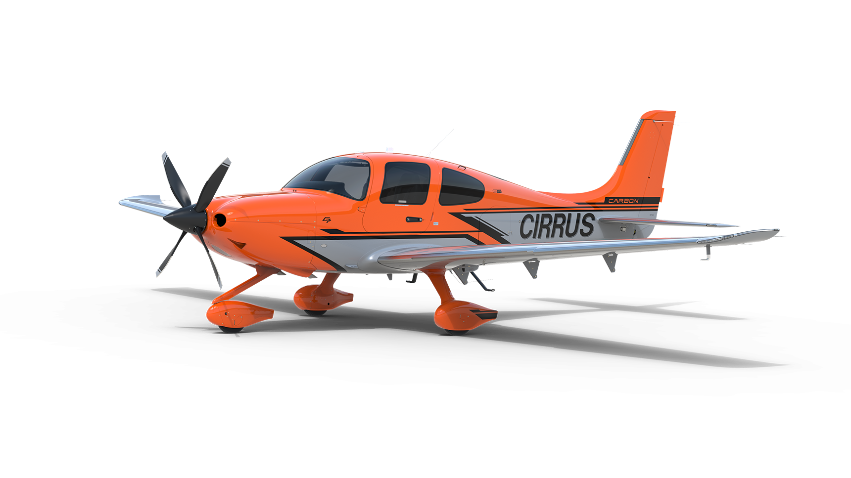

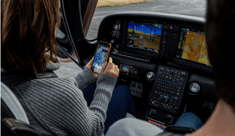

Flying IFR in a Cirrus aircraft is a refreshing experience for any pilot – no matter the experience level. In fact, the SR Series was designed to optimize IFR flying, with the technologically-advanced Cirrus Perspective+™ by Garmin® flight deck delivering essential information to the large 10- or 12-inch flight displays for easy navigation.
To help demonstrate the ease of use of the industry-leading flight deck, we’ve asked our SR Series product team to outline the experience of flying IFR in a 2020 G6 SR Series.
Pre-Departure
- After a thorough pre-flight briefing and an examination of your aircraft, you’re ready to climb in and taxi out.
- Using the airport information database you can look up the local clearance / ground / tower frequencies and get your clearance.
- Next, you can enter your cleared route directly into the Cirrus Perspective+ avionics flightplan page using the convenient QWERTY keypad or wirelessly transfer it via a Bluetooth connection to the panel using either Garmin Pilot or Foreflight and Garmin FlightStream 510.
- With your aircraft setup for navigation, you work through your electronic pre-taxi and pre-takeoff checklists, using the enter key, each item can be checked off and is stored as completed, even if your flow is interrupted and you go to a different page, when you come back to the checklist, it remembers where you left off.
During Take-Off and Climb
- A single push of the TO/GA button on the throttle sets up the flight director for takeoff mode. Once cleared for takeoff, set your heading bug on the PDF to your assigned heading and advance the throttle.
- Unique to a Cirrus aircraft, at 600’ AGL an audible notification reminds you that CAPS® is available, and now you activate the Garmin GFC 700 autopilot. This 3-axis digital autopilot is capable of navigating the rest of the flight until you disconnect it at your approach minimums.
- As you climb, charted obstacles and terrain are depicted directly on the PFD. And with your route and altitude clearance set in the avionics, you can also see your cleared flight path as highway-in-the-sky boxes in the synthetic vision display, which aids your situational awareness by giving you a target to follow in the climb.
- Throughout your flight, the Garmin frequency database ensures you know you are talking to the right frequency, even showing the name of the air traffic control facility you are tuned into on the PFD.
- Now, you can complete the climb checklist and prepare to level off for cruise flight.
Cruising in Confidence While In Flight
- Once in cruise flight, you complete the cruise checklist on the MFD and tune in to your favorite music, via SiriusXM® . You can also monitor weather conditions, including animated NEXRAD weather, lightning strikes, freezing levels, winds aloft and destination METARs and TAFs, along your route through SiriusXM.
- Through cruise you can monitor the aircraft, with up-to-date critical engine information available on the engine indication strip on the MFD. Additional detail is also available on the dedicated engine monitoring page of the MFD.
- You can also be confident that the avionics are constantly monitoring the aircraft and will notify you if anything requires your attention. For example, if the outside air temp drops below 5°C, a notification appears on the PFD until the pitot heat is switched on. Similarly, an alert will appear if the fuel tanks exceed the recommended fuel imbalance, reminding the pilot to switch tanks.
As You Make Your Approach
- As you approach your destination, you can find the destination airport frequency info and tune into the local weather, via ATIS or AWOS, which are digitally selectable and can be loaded into the appropriate communication frequency with the press of a couple buttons without having to spin dials or type numbers.
- At this point you know to expect a visual or instrument approach, which you can load into the avionics and, once activated, the autopilot will navigate the approach (and the missed approach, if necessary).
Once Your Reach Your Destination
- After landing make sure to zoom in on the MFD and use geo-referenced SafeTaxi charts to know exactly where you are on the airport. This helps you navigate a new airport and find your preferred FBO with ease.
If you’re looking for more of a demonstration, here’s a full pre-flight briefing and demo IFR flight from the Cirrus Aircraft Vision Center in Knoxville, Tennessee (TYS) to the Hartsfield-Jackson International Airport (ATL) in Atlanta, GA.
And if you’re ready to take the next step with a demo flight to experience the most intelligent, most connected and most capable aircraft in its class, find your nearest Sales Director here.